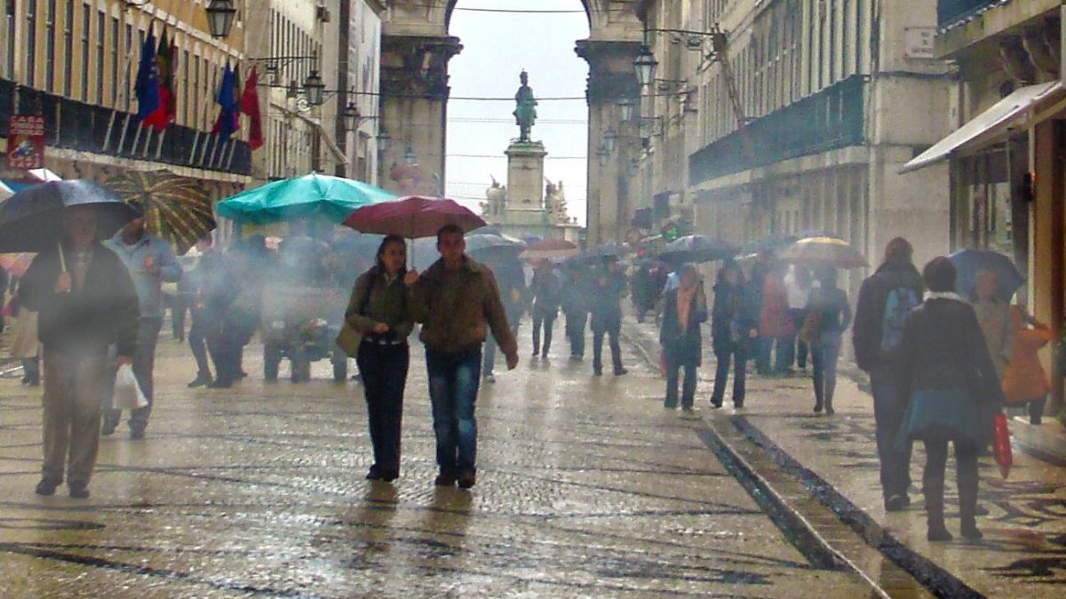
The service commander at the National Emergency and Civil Protection Authority (ANEPC), José Costa, told Lusa that the most complicated situation occurred on Thursday afternoon and, between 00:00 and 12:00 today, they recorded 58 of the 716 occurrences.
According to Jorge Costa, the majority of incidents were related to tree falls (304), floods (157), falling structures (137) and road cleaning (92).
The commander also indicated that the areas most affected by the bad weather were Greater Lisbon, where 225 incidents occurred, followed by the Algarve (72) and Lezíria do Tejo (50).
According to Civil Protection, on Thursday two extreme wind phenomena were recorded in the country, in the Tagus basin, which affected the municipalities of Montijo (Setúbal), Moita (Setúbal) and generating precipitation on the north bank of the Tagus, in the area from Lisbon and Silves (Faro).
The phenomenon that occurred in the Tagus basin is being analyzed by the Portuguese Institute of the Sea and Atmosphere (IPMA) as it could technically constitute a tornado, according to ANEPC.
On Thursday, meteorologist Alessandro Marraccini told Lusa that “at around 2 pm, a convective cell that was part of the frontal system that crossed the Portuguese coast during the afternoon, showed quite vigorous activity and crossed the southern region of Lisbon”, adding that IPMA immediately began receiving reports of the meteorological phenomenon.
At the end of the day on Thursday, at 6:20 pm, the municipality of Silves, district of Faro, was affected by another extreme wind phenomenon, which caused “large trees to fall, affected vehicles and roofs of affected houses ”, according to ANEPC.
Storm Nelson is affecting the weather in mainland Portugal, where until Easter Sunday, precipitation will be constant, according to IPMA.
The commander on duty at ANEPC also told Lusa that weather forecasts for today point to snowfall and sea disturbances in the North and Center regions, with no heavy rain expected.


