Rain is expected to return this week according to the Portuguese Institute of the Sea and Atmosphere (IPMA) which, according to the most recent forecasts, has indicated that precipitation is expected from Thursday onwards, continuing throughout the Carnival weekend.
“The anticyclone located in the British Isles is weakening and, at the beginning of the week, we will have a transition from the easterly current to the westerly current, allowing the passage of frontal systems from the mid-week”.
The beginning of the week should give way to "a lot of cloudiness", although, for now, without rain. This should arrive from Thursday onwards, ‘piggybacked’ by “a frontal system of moderate to strong activity”.
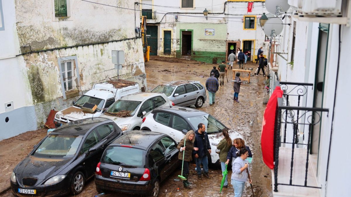
On Friday, “persistent and sometimes heavy precipitation is expected, which will affect the entire country, but which will be more intense to the north of the Montejunto – Estrela system and in particular in the mountainous areas of the North and Center".
According to IPMA, “rainfall is expected to continue as showers throughout the Carnival weekend of February 10th and 11th”, with strong sea agitation also expected during this period.
Temperatures, in turn, “will be above the usual values for this time of the year, particularly in the South region”.
Maximum temperature should vary between 8°C and 17°C in the North and Central interior regions, between 14°C and 20°C in the South region, between 14°C and 20°C in the West coastal zone, and between 16°C and 20°C in the southern coastal area.
In the Azores, the maximum temperatures will be between 16ºC and 19ºC, while in Madeira they should vary between 17ºC and 22ºC.
The minimum temperature on the mainland will be between 1°C and 10°C in the North and Central interior regions, between 6°C and 11°C in the South region, and between 7°C and 12°C along the coastline.
In the Azores, minimum temperatures are expected between 12ºC and 16ºC, while in Madeira temperatures are expected between 5ºC and 22ºC.


